Mount Jackson by the Webster-Jackson Trail
A short, steep climb to a summit that opens up at the very end. Route notes, winter footing, and a junction worth knowing before the clouds roll in.
- Distance
- 5.2 mi round trip
- Climb
- about 2,200 ft
- Summit
- 4,052 ft
- Start
- US 302, Crawford Notch
These markers show general locations, not a route to follow. Carry a current map and compass.
Why this one
Mount Jackson is the southernmost 4,000-footer in the Presidential Range, and the Webster-Jackson Trail is the shortest of the three ways up it. Two things make it a sensible peak for a short winter day: it is only 2.6 miles to the top, and it stays in the trees until the final scramble. You get a real summit without spending hours exposed to the wind.
The trade is steepness. The other routes spread the climb over four miles or more. This one does about 2,200 feet in 2.6.
Getting there
The trailhead is on US 302 at the top of Crawford Notch, about a tenth of a mile past the AMC Highland Center if you are coming from the west. The parking pull-off is on one side of the road and the trail starts on the other, on the east side, marked with a sign.
The Highland Center is the place for a bathroom, a forecast and a last check of your kit before you start.
The climb, in three parts
- Road to the Elephant Head spur, 0.1 mile. A side path leaves on the right almost at once. Skip it on the way up and decide on the way down whether you have the legs.
- Spur to the fork, about 1.3 miles. Rocky, steady climbing in the woods with a few steep pitches. This is the stretch that turns to ice after a thaw and refreeze.
- Fork to the summit, 1.2 miles. Left is Jackson, right is Webster. The Jackson branch gains roughly 1,250 feet, more than half the day's climbing, and ends with a short ledge scramble onto open rock.
Reading the summit sign
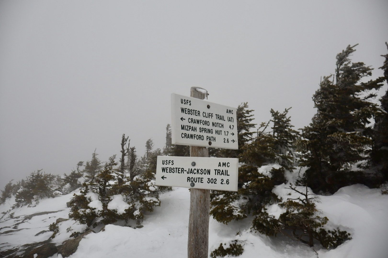
The sign in the photo stands at the top, and it lays out every option from there. The Webster-Jackson Trail runs 2.6 miles back to Route 302: that is your way down. The Webster Cliff Trail, which is also the Appalachian Trail, goes two ways: 1.7 miles on to Mizpah Spring Hut and 2.6 to the Crawford Path, or back over Mount Webster and down the cliffs to Crawford Notch in 4.7.
On a clear day you will not need it. On a day like the one in the photo, with the summit in cloud and rime on the spruce, it is the thing that confirms which gap in the trees is yours before you commit to a direction.
If you want more than an out-and-back, follow the Webster Cliff Trail over Mount Webster and come down its branch to the fork. That makes a 6.5-mile loop.
How long to allow
Book time, the standard estimate of half an hour per mile plus half an hour per thousand feet of climb, puts the ascent at about two hours twenty-five minutes. Allow around four hours of moving time for the round trip in good conditions, and more in winter: breaking trail, stopping to change traction and short daylight all add up.
In winter
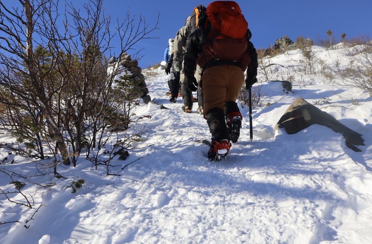
Carry traction and expect to use it. The lower trail holds ice, and the summit ledges are the hardest few minutes of the day, steep and polished where everyone puts their feet.
The top is exposed. If it is in cloud there is no view and no shelter, so add your layers at the last trees, tag the summit and come back down to them to eat.
Other ways up
- Crawford Path and Webster Cliff Trail, from the north: 4.2 miles one way and about 2,450 feet. The most gradual.
- Webster Cliff Trail, from the south: 4.7 miles one way and about 3,150 feet. The longest, with the best views.
Before you go
From the trail
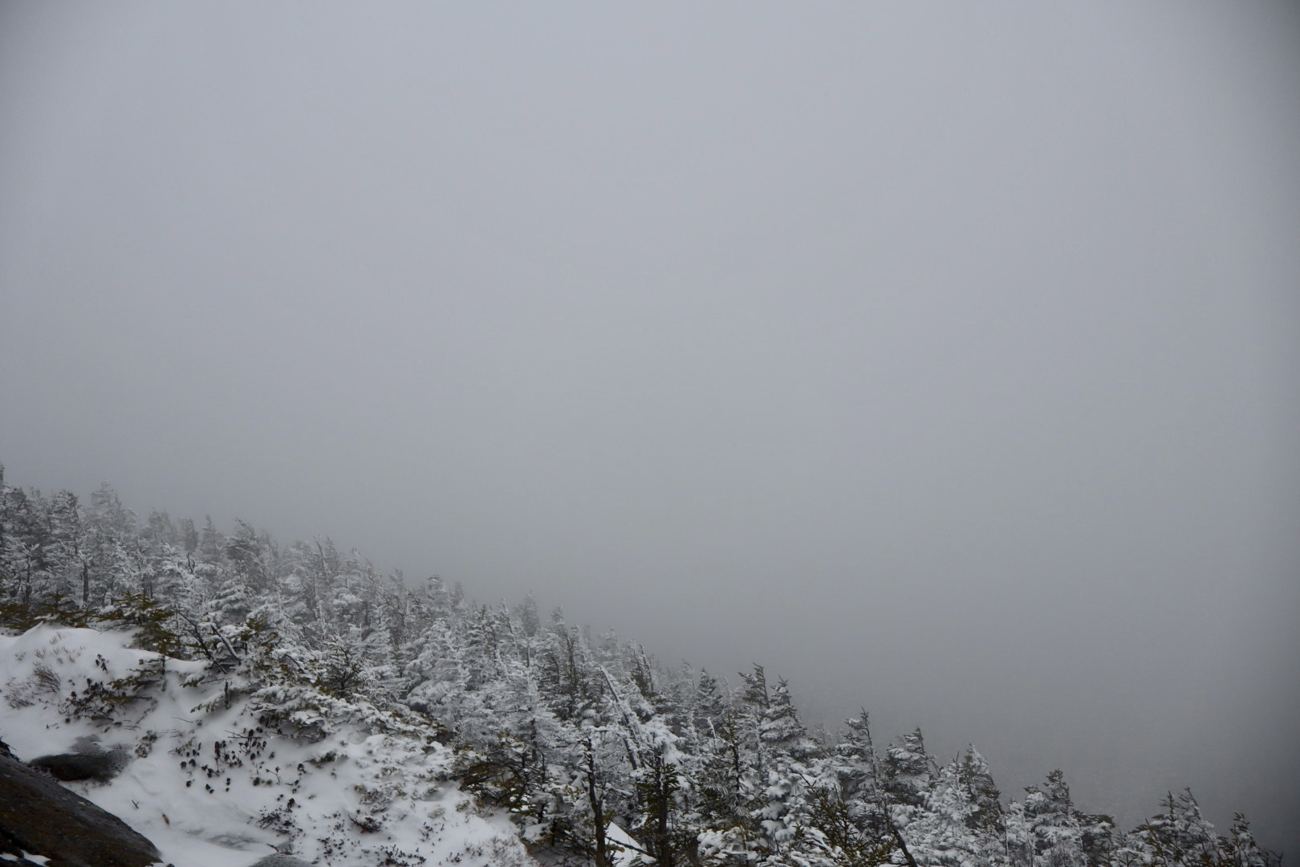
We had no view at all the day we went up. The summit was inside the cloud, the spruce at the top was coated in rime and bent over from the wind, and the junction sign was the only landmark up there.
That is the day the photo on this page is from. It is why this guide spends a whole section on reading that sign.
Sources and further reading
- White Mountain National Forest, Webster-Jackson Trailhead
- SectionHiker, Mt Jackson: three hiking routes
- SummitPost, Mount Jackson
- Two People One Adventure, Mount Jackson
- Hike New England, Mt. Jackson and Mt. Webster
Routes and conditions change. Check current forecasts, trail notices, and maps before you set out.